


Today is a driving day. After breakfast and some room made sandwiches for the trip I am off west. Todays goal is the national tourist road “Varander”. The road is 160 km long and starts at Varangerbotn all the way to Hamningberg.
On the way I want to film the drive, collect geocaches from the different municipalities and take photos and enjoy the landscape. Audiobook on and of I go.
Did I mention that there are reindeer crossing the road and don’t care about looking? Yeah… they are that way. Several times along the route (but the only breaking was due to sheep running on the street…).
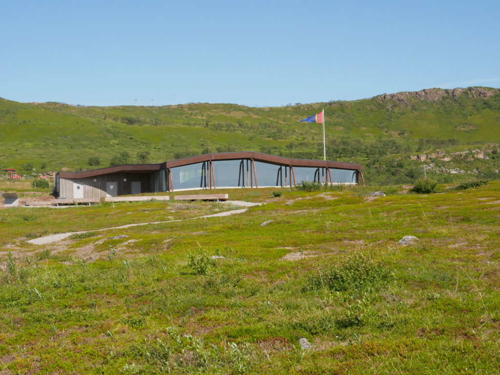
After getting to Varangerbotn (which already was a distance) and mounting the camera on the hood the tour on the E75. After the first church I see a sign for a cultural heritage center for Sami culture. A small museum about the rituals and a big area which was a significant religious place and had rests of settlement. The area is big and since I have to drive a lot more, I chose to just take a small walk before getting back to the car.
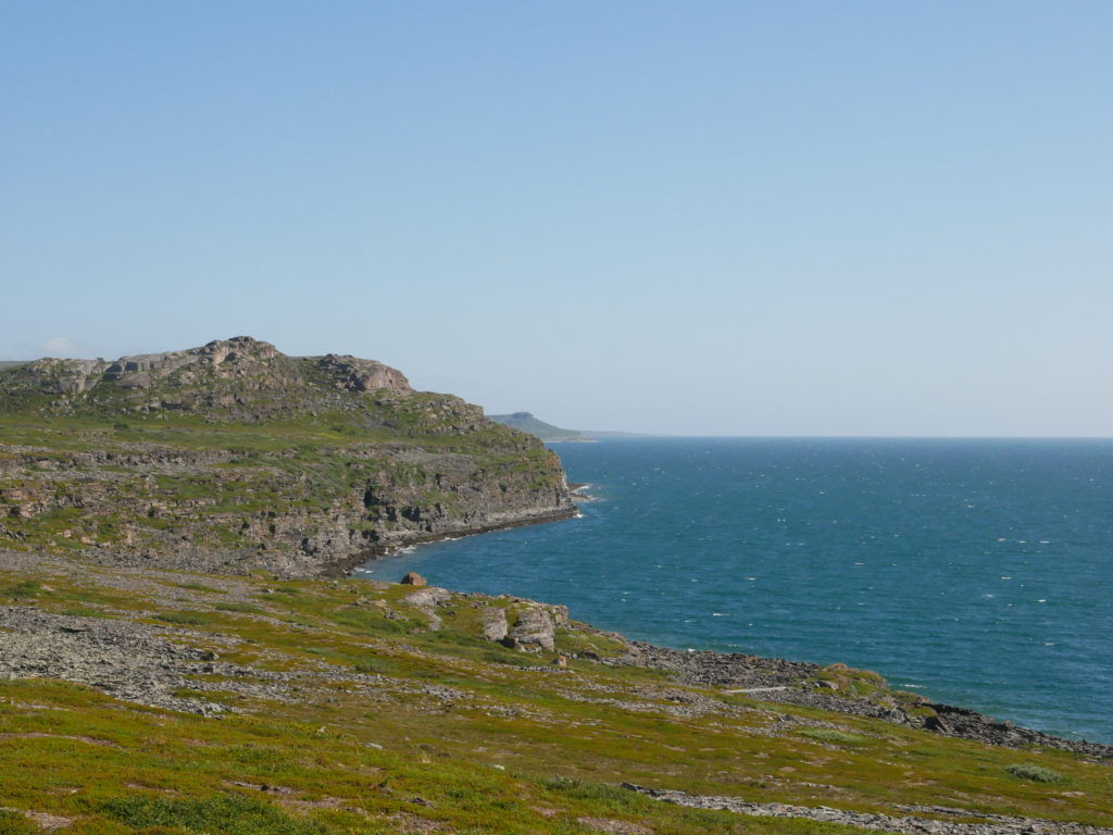
A nice drive along the coast in beautiful weather. It looked cloudy in Kirkenes, but not here. Not as warm as yesterday, but 14 degrees is totally acceptable. A nice wind blowing.
The first bigger town along the rout is Vadsø. This looks very touristy. A hotel, some shops, a harbor. The Hurtigrute stops here and they have a small airport for the small Widerøe planes. But there is not that much to do here. I think that is an early summary I can make. Up in the north you travel from place to place and don’t stay one place. There are not many people living here and the distances are long. A caravan/camping holiday would be the best option I think.
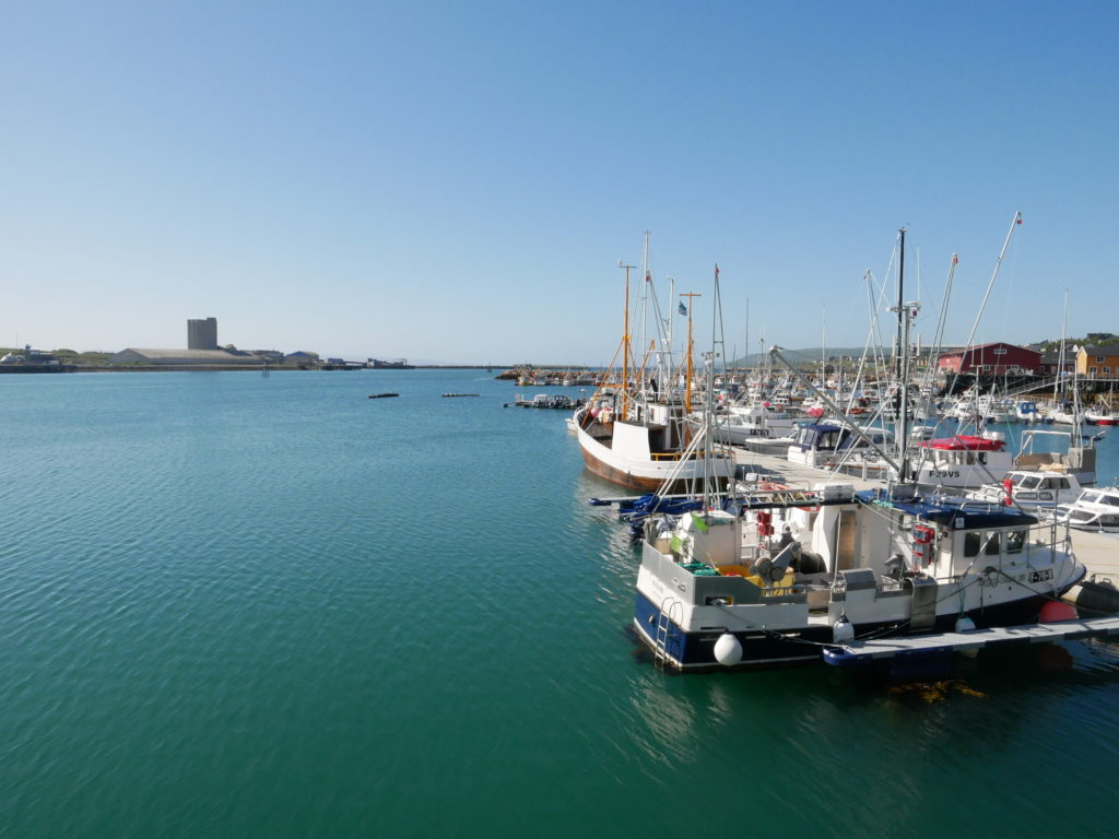
It is a long drive with some stops for geocaches and some photo opportunities. I see some Finnish caravans – since the border is so close. But my next goal is Vardø. The other “bigger” town along the road. This could be a nice town, if they would use some paint on the houses. But there are also some attractions here.
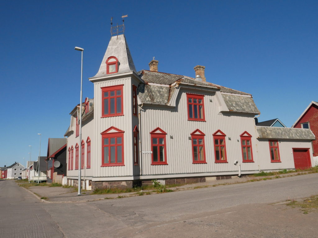
This looks at least maintained 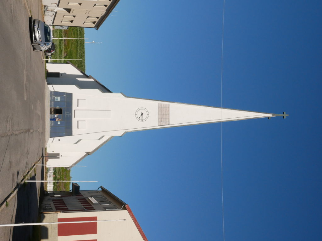
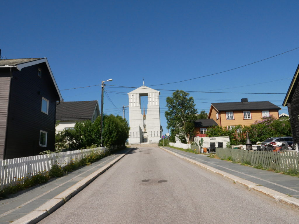
The curch
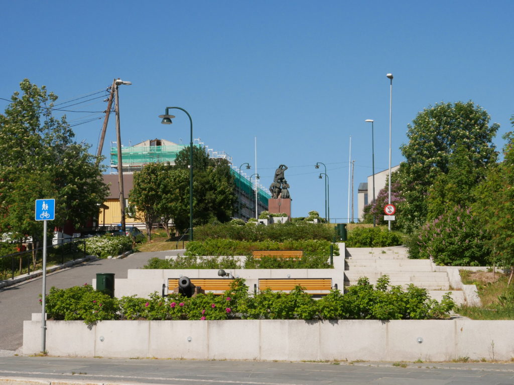
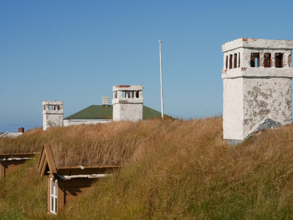
First I found a nice parking spot close to the Vardøhus fortress. I included a link to the Wikipedia page. A nice fortress with a lot of history. Very happy about that stop.
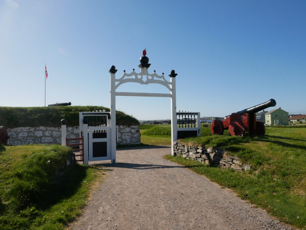
Vardøhus feste 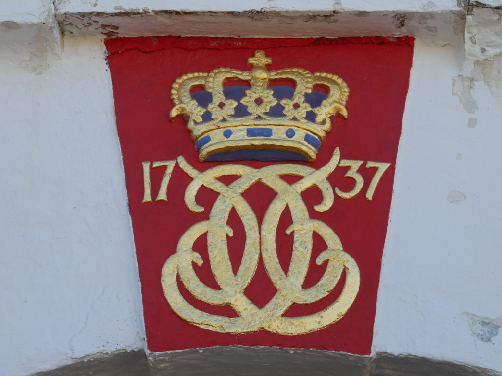
Small but very nice 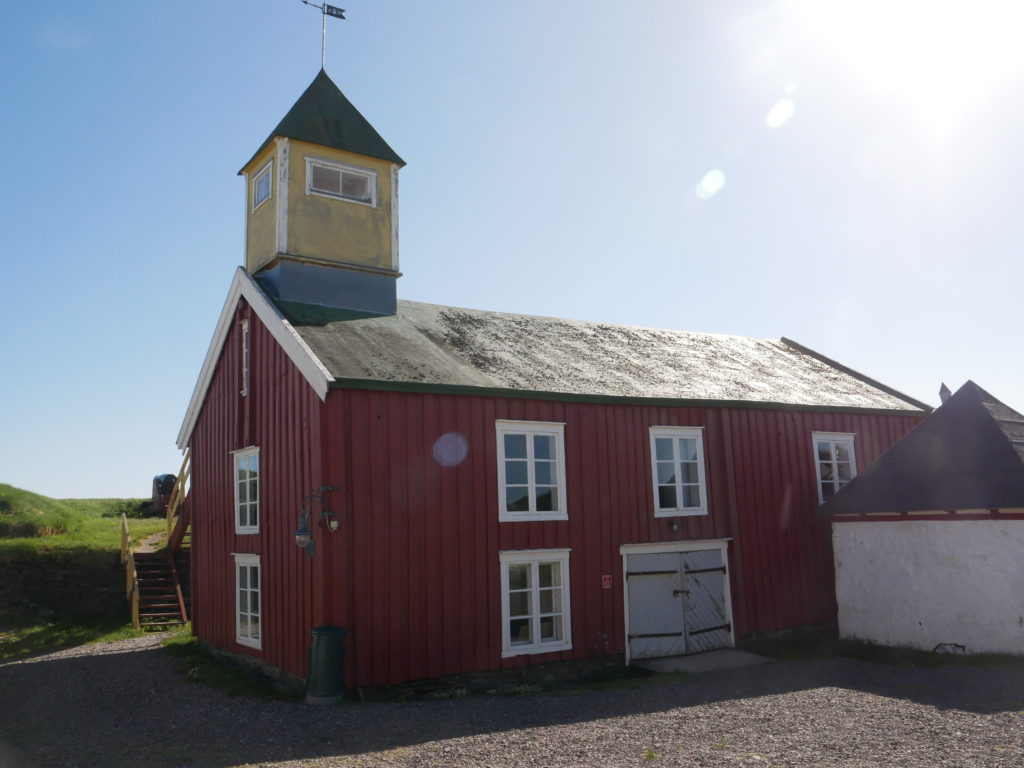
But there was another sight close by. The Steinneset memorial. A memorial commemorating the execution of more than 90 witches in 1621. An interesting structure with a lot of information inside. I thought it was interesting and used some time to read a few of the stories. There is of course a geocache there. 😀 Luckily I don’t have to think about daylight since it doesn’t get dark here.
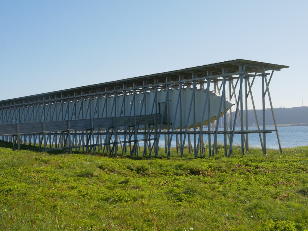
The memorial 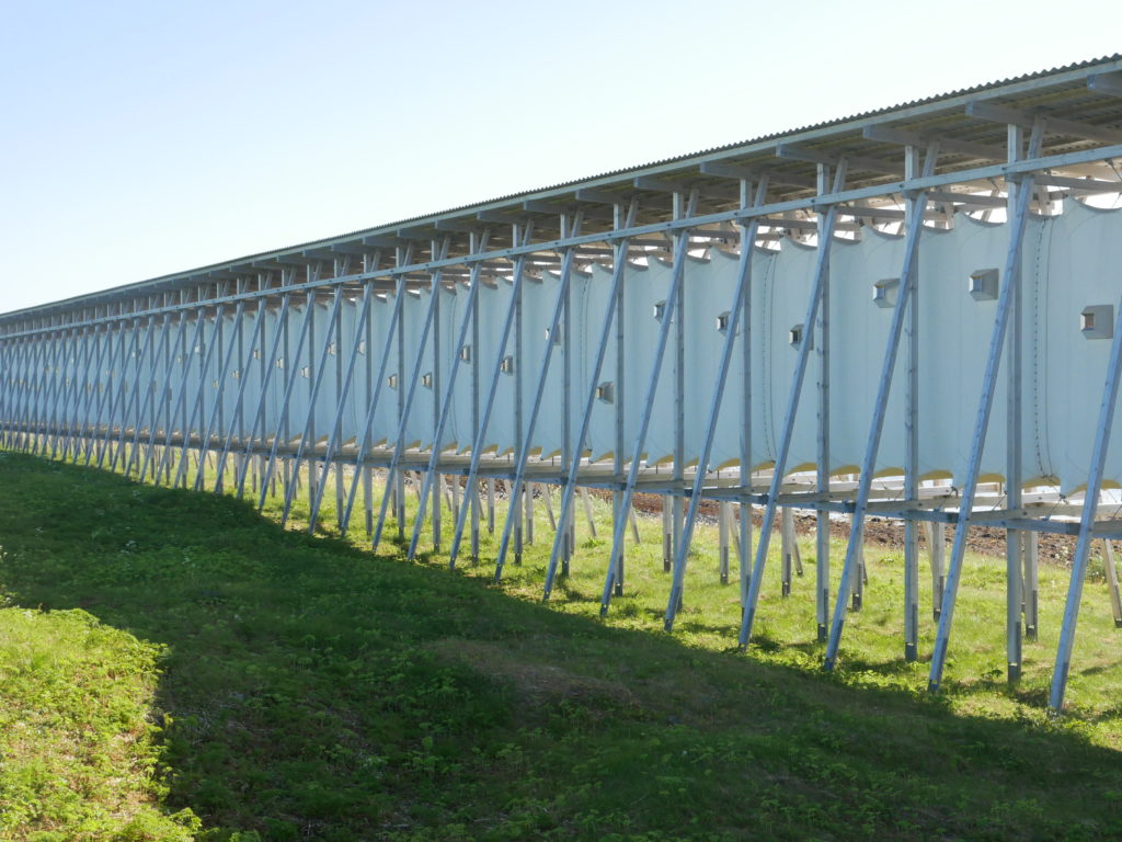
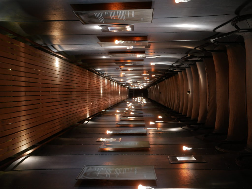
Stories inside 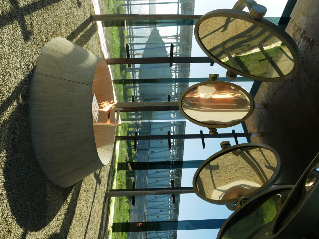
Art… 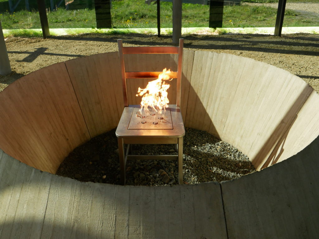
Any witch who wants to sit down
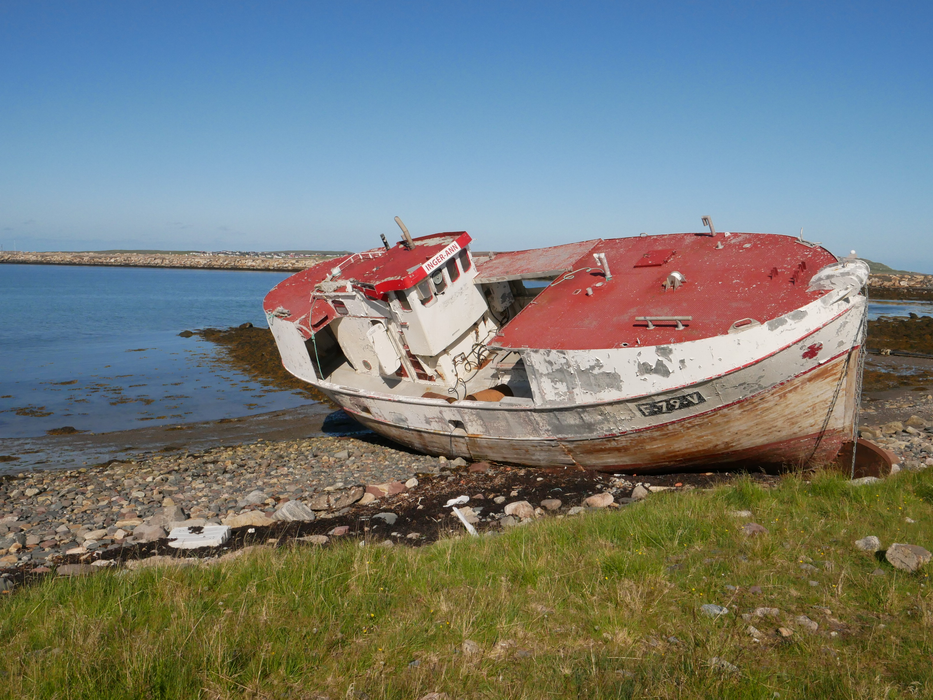
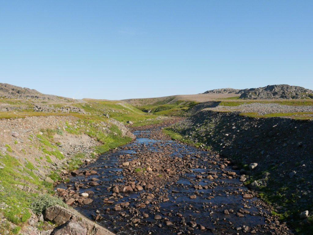
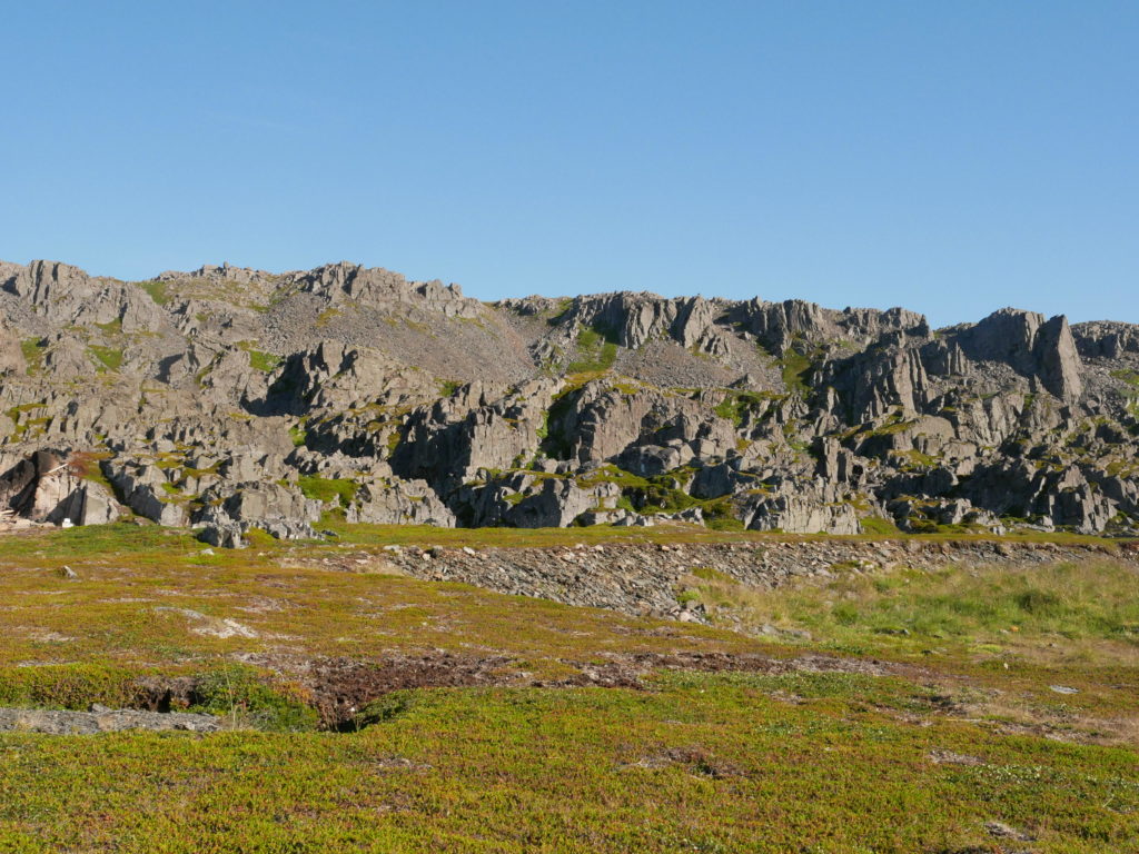
Now the last part of the trip. The European road ends here. The last kilometers are on a narrow and winding road. Extremely rough landscape, you have to wait for cars, rocks everywhere., This is very different to the rest of the road I used before. But I like the contrast. Some nice photo opportunities and in the end I arrive at the end of the road – Hamningberg.
This is a small village with cottages, a café and some tourists. Dutch, German, Finnish… this is where they drive. Understandable. Reindeer in the village, close to the car. This is a nice secluded spot. They even have 4G here. A good spot to call my parents and show them a live video.
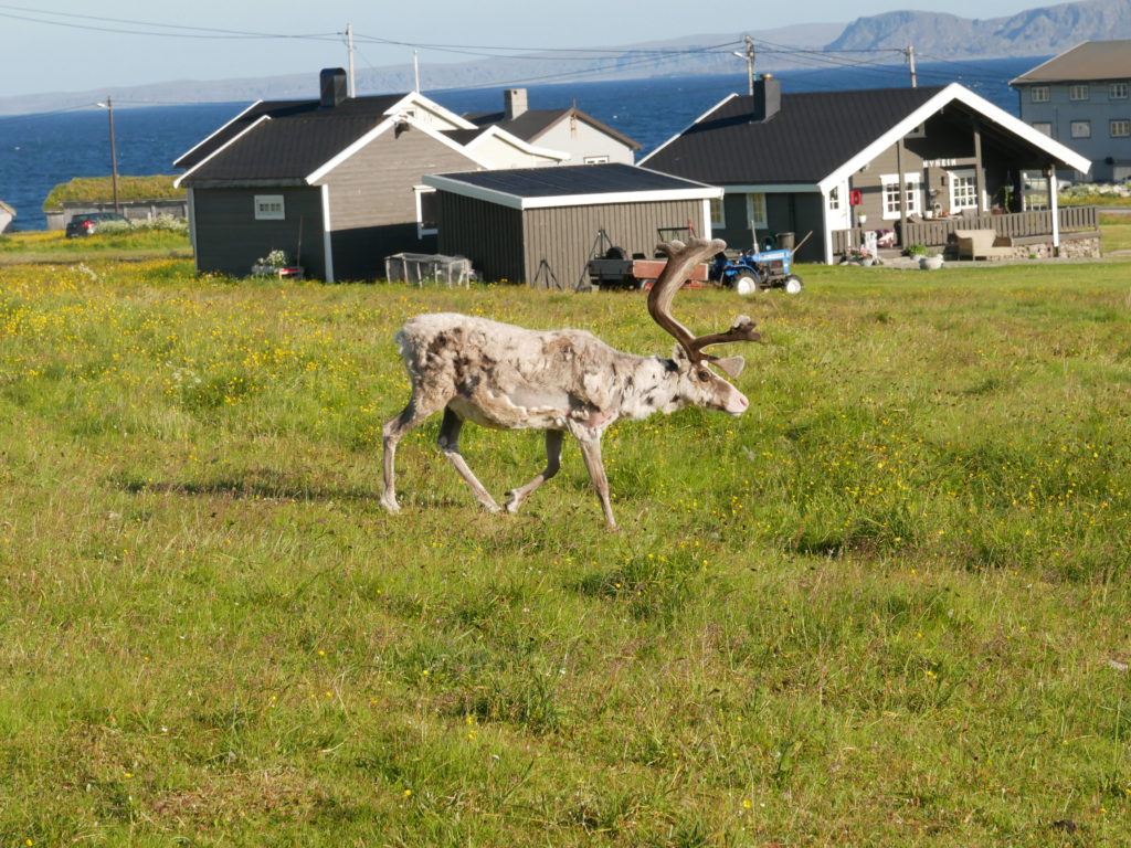
A local resident 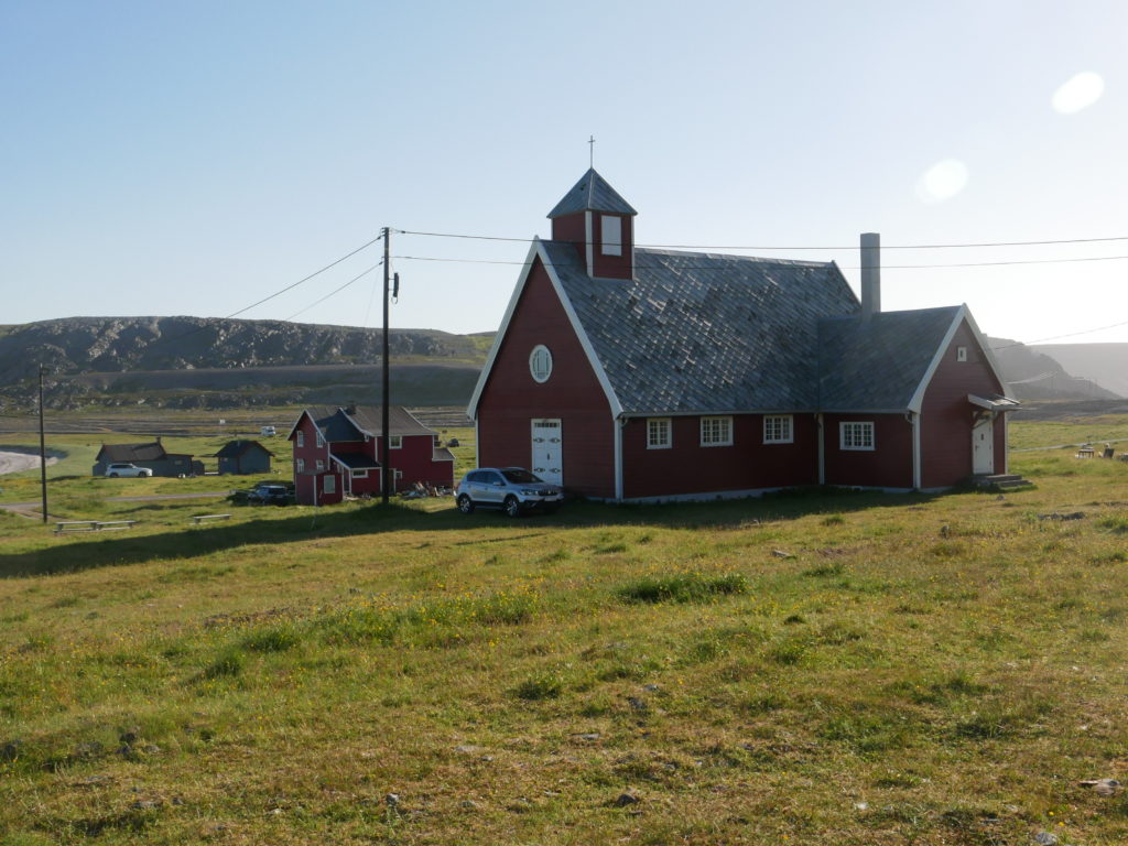
The small church 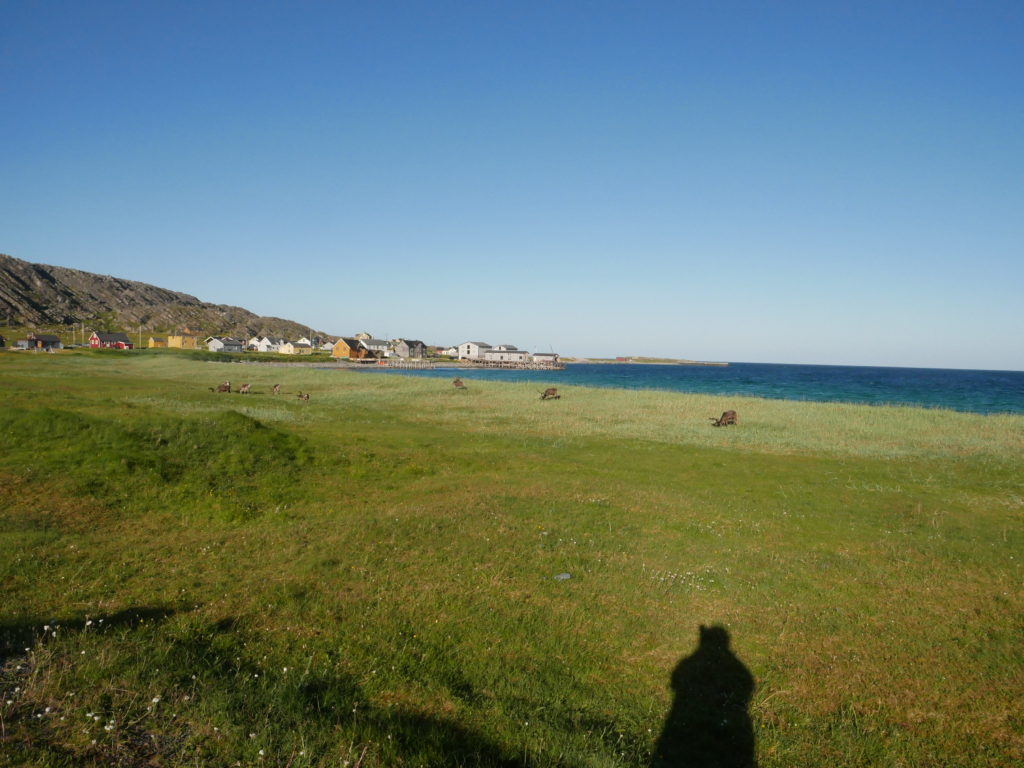
Hamningborg 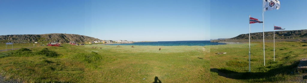
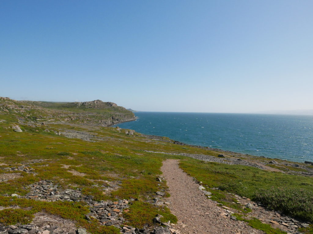
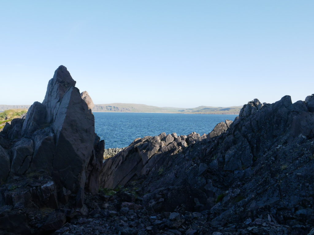
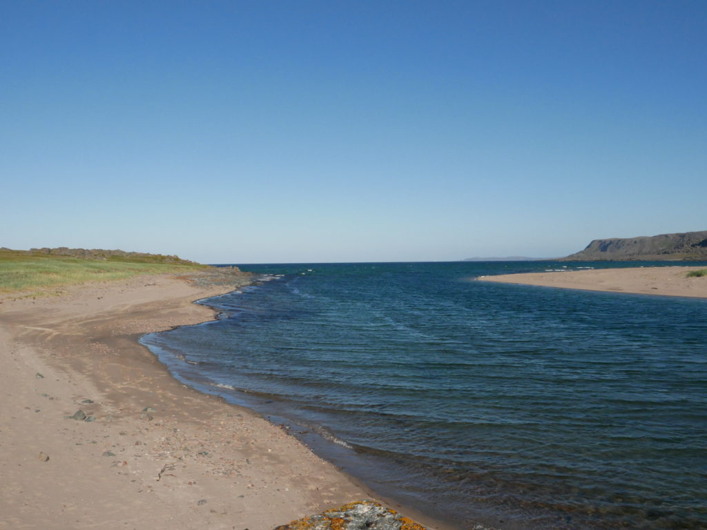
Beautiful view 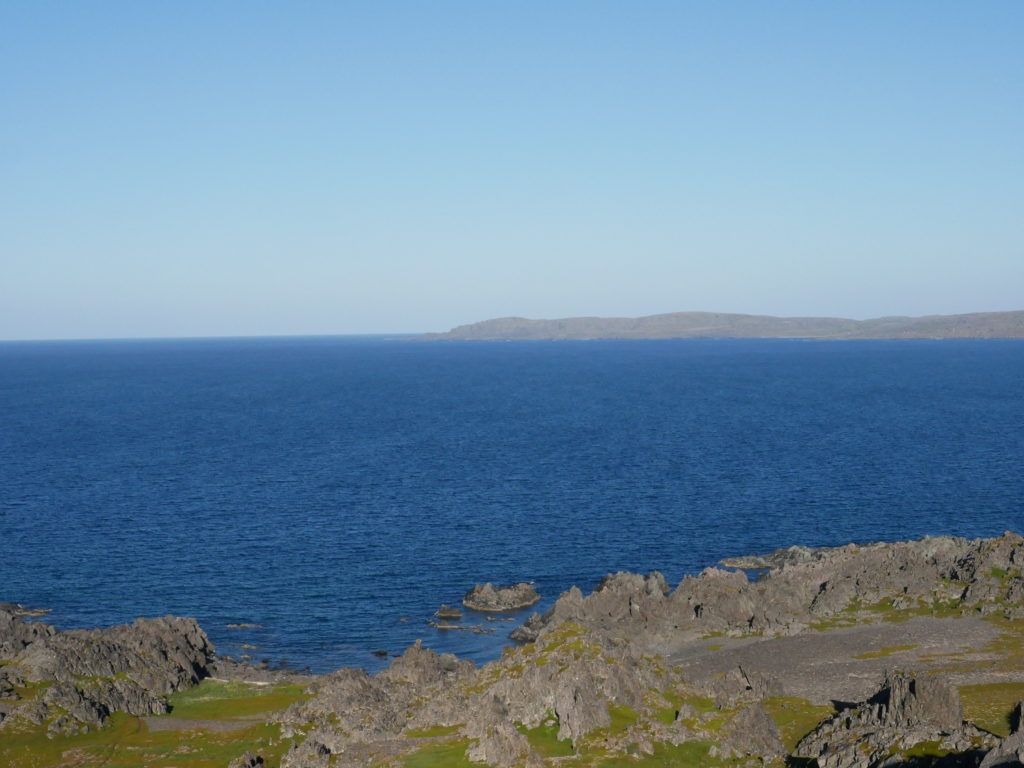
More views… there are a lot of them
But I have to drive all the way back. In Vardø I get a burger for dinner at Shell (Yeah… not a restaurant) and I changed my plans for tomorrow. I wanted to drive west from Kirkenes to collect some mote municipalities, but the drive is long and I think a whole day of driving is enough. So I do a change of plans. I do a small detour to Tana. Not as far as I wanted, but only a small detour on my way back.
It is still bright outside and that gives me the chance to stop at all geocaches in reach. I get back to the hotel late, but this tour was nice. As I said… better camping or take the hotel in Vardø than do what I did, but I don’t mind driving long tours. Tomorrow will be a slower day.